RailCam #1 - Click HERE for streaming motion page
PICTURE BELOW IS JUST A PLACE HOLDER for link to MOTION VIDEOS (2) -- CLICK ON PICTURE
Roanoke
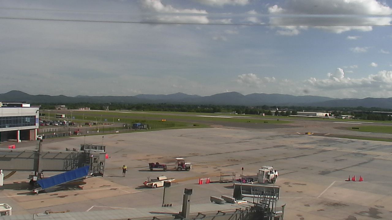
Airport - From
WSLS Channel 10 NBC - Link HERE
LINK does not appear to be active

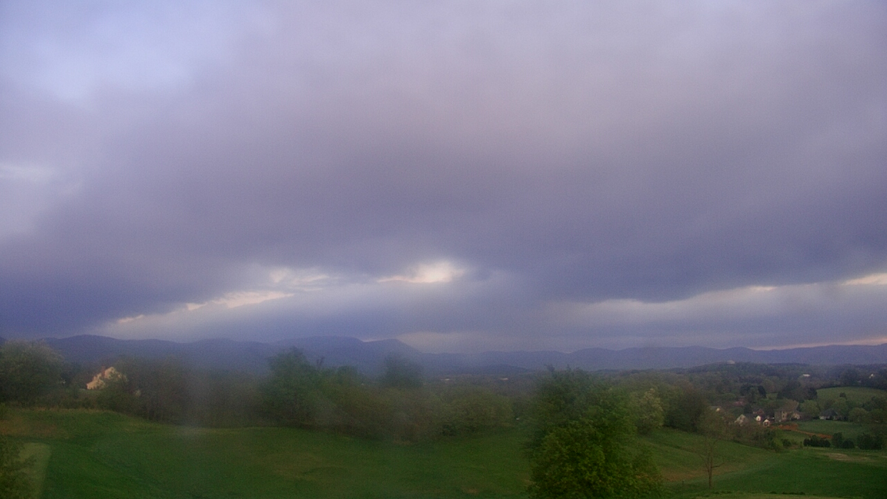
South Roanoke-Weather Roanoke Cam #3 - Webpage HERE
7 SSW of Roanoke airport looking SSW (1200 ft.)

City of Roanoke cam from Mill Mt. Star - City Web Page - NEW!
Updates every 15 seconds (1750 ft.) (not working with some browsers)
RailCam #2 - Click HERE for streaming motion page
PICTURE BELOW IS JUST A PLACE HOLDER for link to MOTION VIDEO -- CLICK ON PICTURE
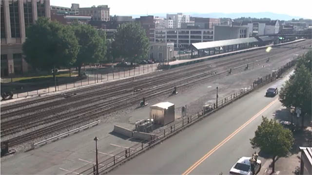
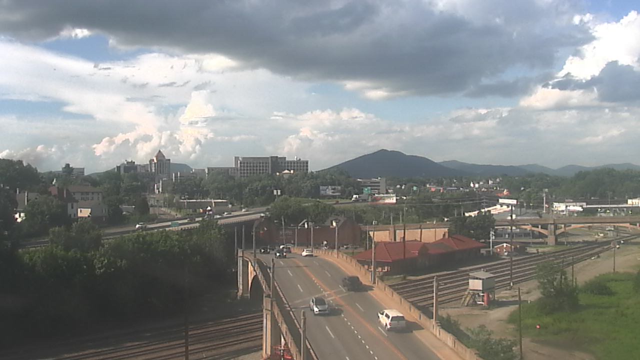
Downtown-Victory Bridge - from WSLS Channel 10 Roanoke VA
Washington Park, Downtown Roanoke - Courtesy
USGS - Click HERE
for main page and MOTION

Rocky Mt., VA - FULL PAGE on Weatherbug
Salem Rotary Dog Park
(west of Roanoke) LINK
here if no picture below

Nearby Communities - Cams
- Roanoke city view from Roanoke Catholic School
- Courtesy of WeatherBug - Current image HERE
- Daleville (Botetourt Co.) courtesy of WeatherBug
- Full size image HERE - or click on picture
Blacksburg, VA (Virginia Tech) - CLICK
HERE for FULL SIZE (current picture)
- Smith Mt. Lake - Couresty of WSET
Channel 13


Riner, VA (2 mi. south of; 8 mi. south of Christiansburg) - NEW!
Auburn Middle School - SSW view, courtesy of Instacam
Martinsville, VA Museum of Natural History


YOUR WEBCAM HERE
See http://www.weatherroanoke.com/addcams.html
Or contact me at mayo@weatherroanoke.com