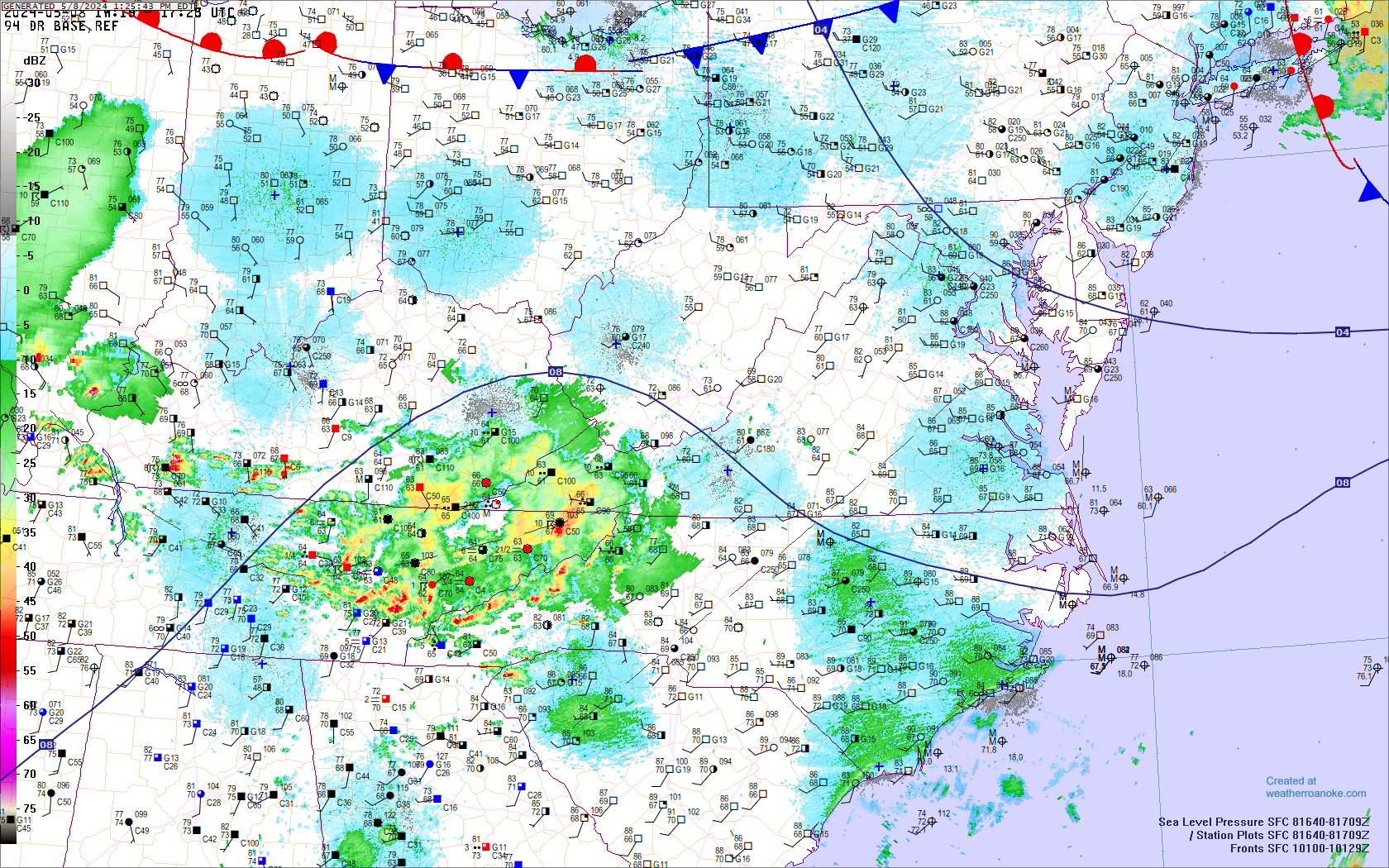
- MID-ATLANTIC SURFACE MAP: Plot - Analysis - Radar
overlay Sometimes TESTING in animation:
-- CLICK HERE
for still .GIF file --
- Custom generated at this site by Digital
Atmosphere software.
Click map for printer
version.
CLICK for VISIBLE SAT or IR or WV Comparison