|
6-10 Day Prog Discussion (maps) 8-14 Day Prog Discussion (maps) 8-14 Exp. Temperature Guidance 8-14 Exp. Precip. Guidance 30 Day Prog Discussion (map) Long-Lead Discussion (maps) |
|
|
NWS Area Forecast Discussions: |
|||
|
|
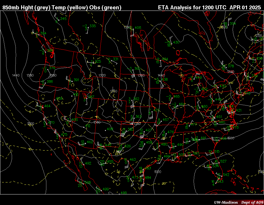
850 mb |
|
||||||
|
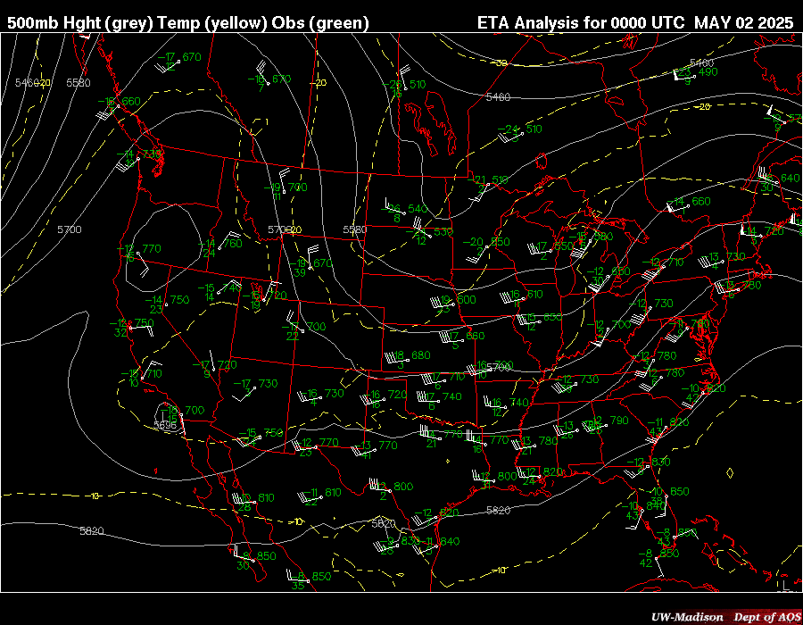
500 mb |
|
||||||
|
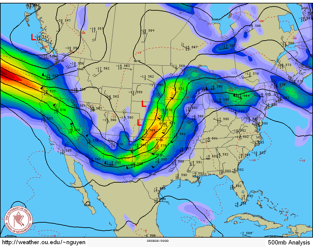
Thickness |
|
|
|
|
|||
|
E-wall moved to near top of page |
|||||||
|
MODELS |
|
|
|
|
|
|
|
|
|
|