
SOUTH
ROANOKE from weatherroanoke.com
NORTH ROANOKE Image below courtesy of WDBJ
Channel 7 - CLICK HERE
|
|
|
SOUTH
ROANOKE from weatherroanoke.com NORTH ROANOKE Image below courtesy of WDBJ
Channel 7 - CLICK HERE |
|
Custom Surface Maps: (generated at this site)
|
Roanoke, Virginia - photo above courtesy of Instacam (click on link) |
||
|
Local Private Station Report Click HERE for station page |
|
||
|
02:00 AM ET 11/2/2025 |
|||
|
Located 7 mi. south KROA (South Roanoke) |
|||
|
45.6°F |
WIND 0.0 mph NNW |
||
|
Dew Pt./Hum. 33.3°F 62 |
GUST (hr.) 0.0 mph N at 2:00 AM |
||
|
Rain Hour 0.00 Day 0.00 in. |
PRESSURE 30.186 in. +0.004in./hr |
||
|
Hi/LoTemp: 47.1°F/45.6°F |
|||
Report from nearest NOAA/FAA station KROA - ROANOKE AIRPORT, 7 mi. N |
|||
|
Visible Satellite Photo

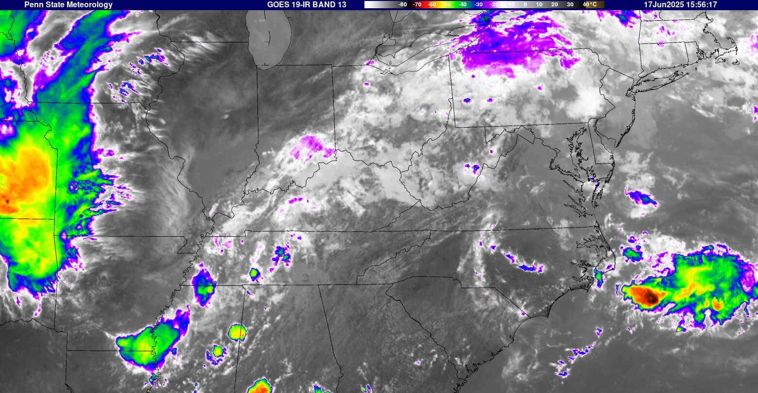
Infrared Satellite Photo 
WATER VAPOR LOOP - CLICK HERE
|
||||||||||||||||||||||||||||||||||||||||||||||||||||||
|
|
LIGHTNING
MAP Looking for new source
|
|||||||||||||||||||||||||||||||||||||||||||||||||||||
|
FORECASTS: Forecast from NOAA-NWS
for Roanoke VA.
|
||||||||||||||||||||||||||||||||||||||||||||||||||||||
|
This weather web site is operated to provide additional weather data. Every effort is made to update the data on regular basis but there may be occasions when equipment downtime or other factors will affect that effort. Weatherdata is believed to be accurate for the area where sensors are located. However, no guarantees are associated with that information. When making important weather related decisions NEVER depend on weather information from this web site.... or any web site(s) other than those operated by the National Weather Service. |
||||||||||||||||||||||||||||||||||||||||||||||||||||||